Achieve Better Monitoring Outcomes in Mining with Kurloo
Achieve better monitoring outcomes in mining with Kurloo
Are you confident your monitoring data is being professionally managed and interpreted? Or are you left managing complex monitoring data outcomes on your own?
What happens to your data when you lose connectivity —are you left with blind spots during critical movement events?
Is your monitoring system built to withstand the harsh realities of mine sites—or does it falter when conditions get tough?
Are periodic manual inspections giving you the full story on ground movement—or are you risking missed warning signs between site visits?
Why Mining Needs Kurloo GNSS
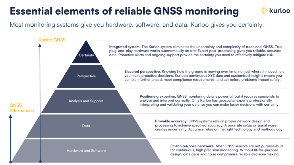
GNSS is powerful technology for proactively mitigating safety risks. But all GNSS systems are not created equal.
- Mining operations need to predict instability before critical failures occur. They need to act faster with certainty to demonstrate safety and compliance.
- Geotechs and surveyors want professional-grade movement data without managing complex setups. Its not enough to know the ground moved. They need to see how it’s moving with absolute (4D) accuracy and no data gaps.
- GNSS Technology is the future of critical movement monitoring. It can deliver more predictive capabilities with absolute accuracy at lower cost and complexity. But all GNSS monitoring is not created equal.
- The spec sheet shows you potential accuracy. Actual (provable) accuracies vary with hardware, processing method, baseline length, satellite geometry, atmospheric interference, positioning drift, and clock synchronisation errors.
- The market reality? GNSS-based devices have the potential to make geotechnical monitoring simpler and more reliable than alternative methods. But Kurloo is the only GNSS system that actually delivers on that potentional.
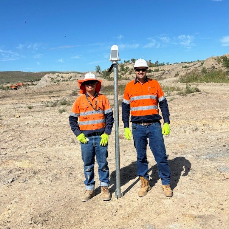
How Kurloo Addresses Key Challenges
Kurloo is dedicated to providing innovative solutions to tackle your critical pain points

High Precision & Consistency
Using a variety of methods that best suits your application, kurloo is capable of consistent mm accuracy in position and height using multi-constellation GNSS and proprietary processing methodology.
Integrated GNSS + IoT + Cloud
Combines GNSS with onboard IoT sensors (tilt, temperature, ground level) and cloud-based analytics for real-time insights and diagnostics.
Cost Efficiency
Reduces time and cost by up to 50% for repetitive high-precision monitoring tasks.
Remote Operation & Alerts
24/7 access via the Kurloo Nest and mobile app, with configurable alerts for proactive risk management.
Built for Harsh Environments
Operates reliably in remote areas with optional LTE, Wi-Fi HaLow, and Starlink connectivity. Onboard data storage ensures no loss during outages.
Exclusive Offer for AusIMM Life of Mine Conference Attendees
Experience Kurloo for Yourself — Risk-Free
We’re offering a special 4-month introductory package designed exclusively for Life of Mine Conference attendees. This is your opportunity to evaluate Kurloo’s remote monitoring technology in your own environment, with no long-term commitment.
✅ Test it in real-world conditions
✅ Enhance reliability and safety
✅ No assumptions — see the results for yourself
At the end of the trial, if you decide not to continue, simply return the devices
— no risk, no hassle.
Try Kurloo. See the difference.


